
Iroquois is an historic village in South Dundas that is nestled along the shores of the St. Lawrence River. With more than one kilometer of public shoreline and green space ranging from approximately (400m to 600m deep), it is one of the most significant municipal waterfront green spaces in Eastern Ontario and one of the community’s greatest assets. This is the result of the Village being flooded out by the construction of the St. Lawrence Seaway project in the 1950s.
Re-Tracing an Existing Cultural Landscape
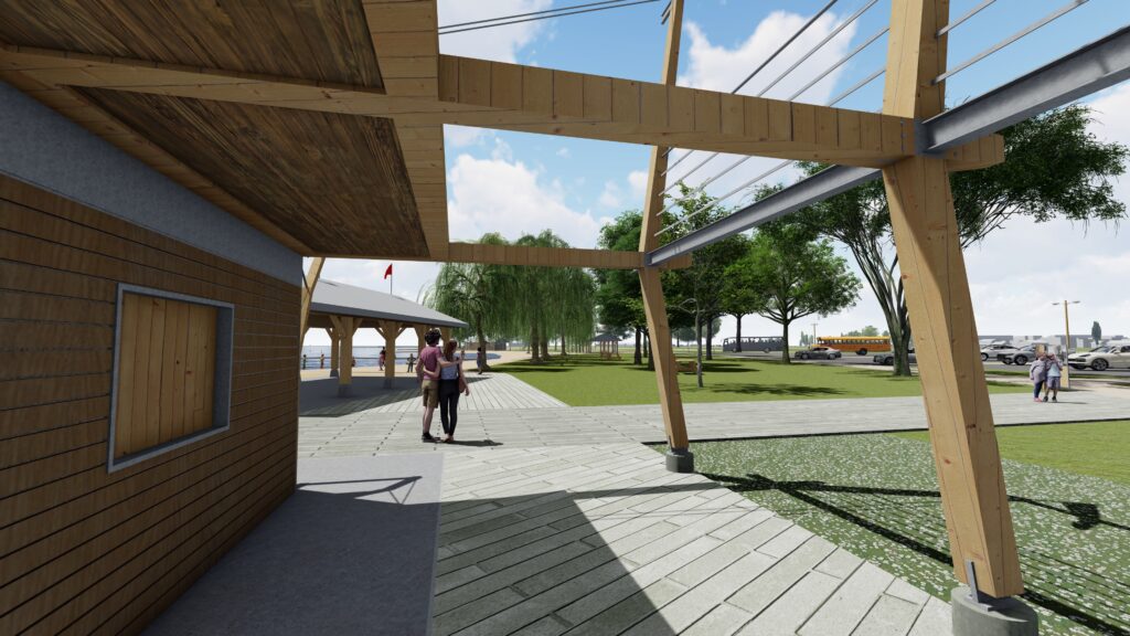
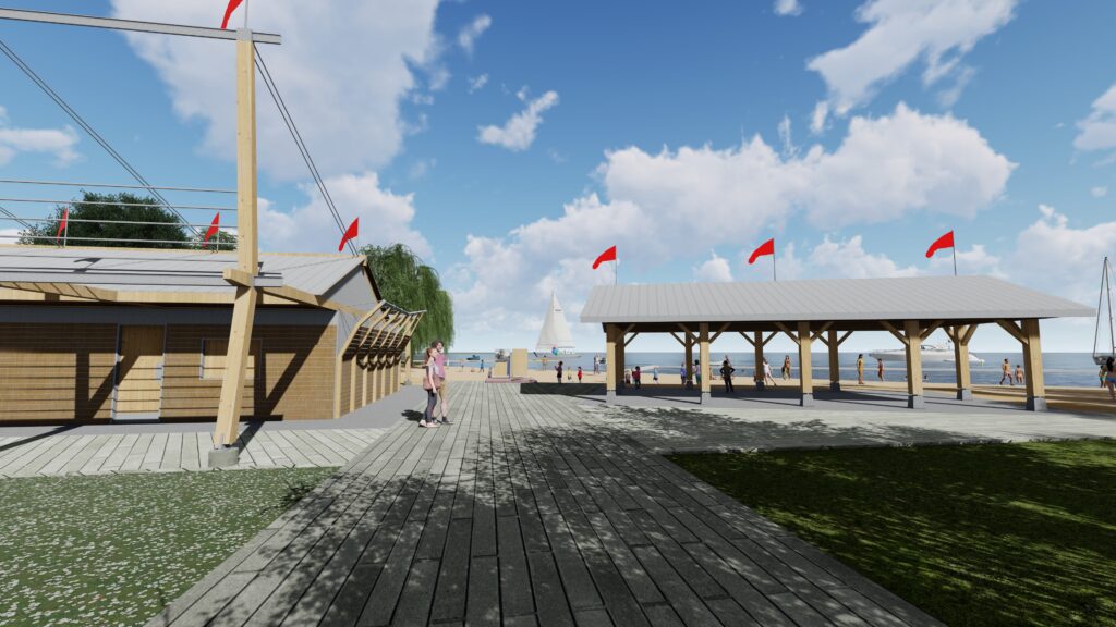
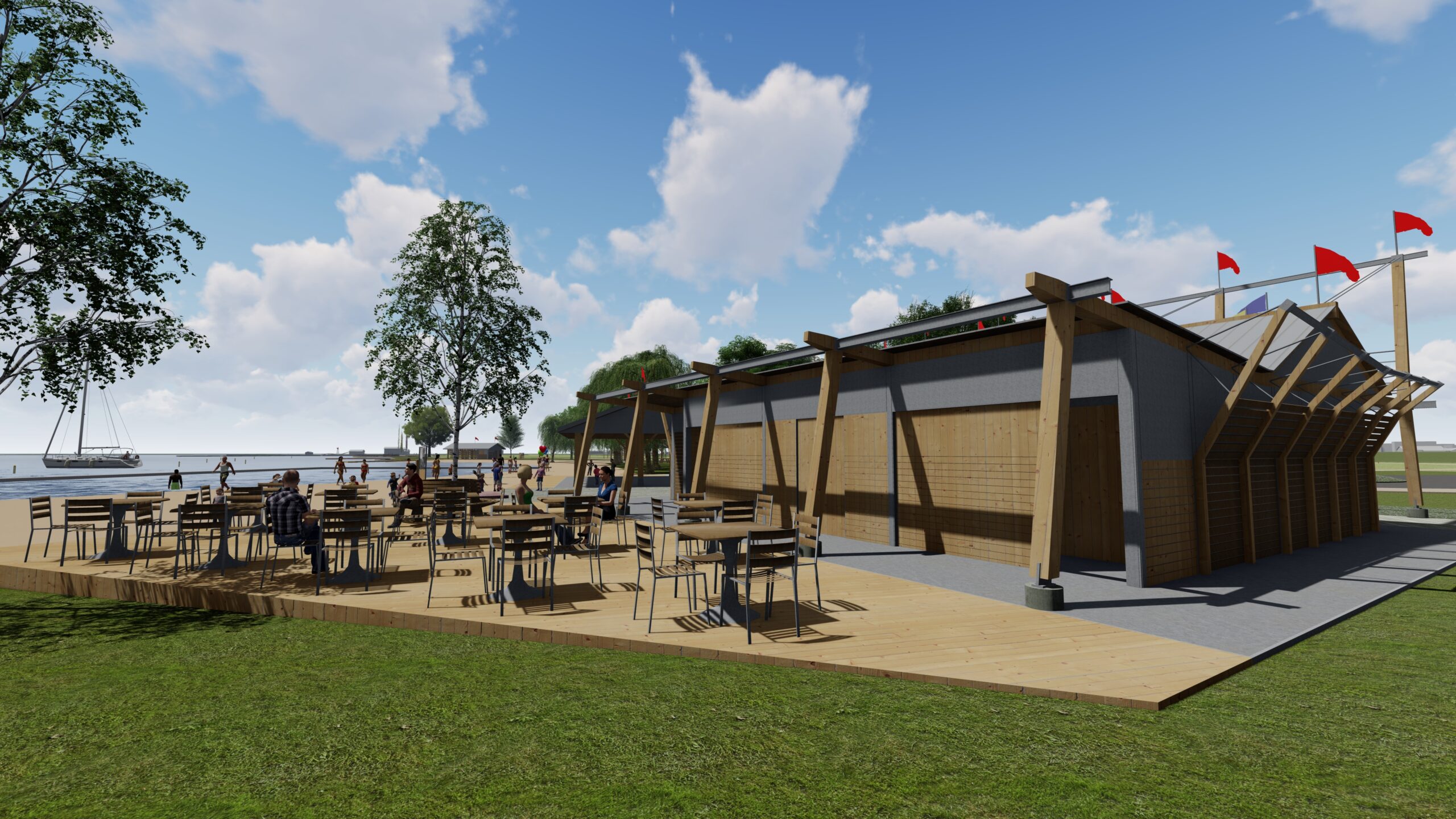
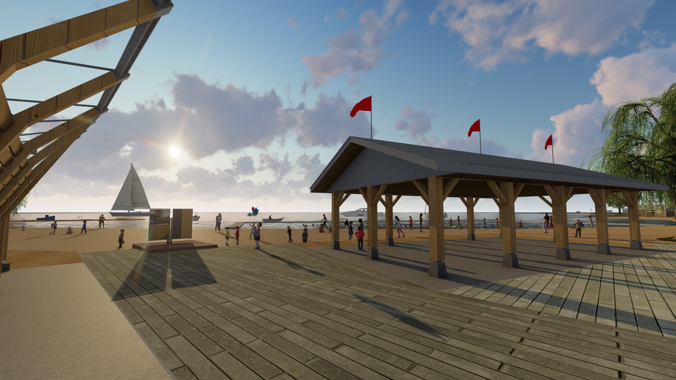
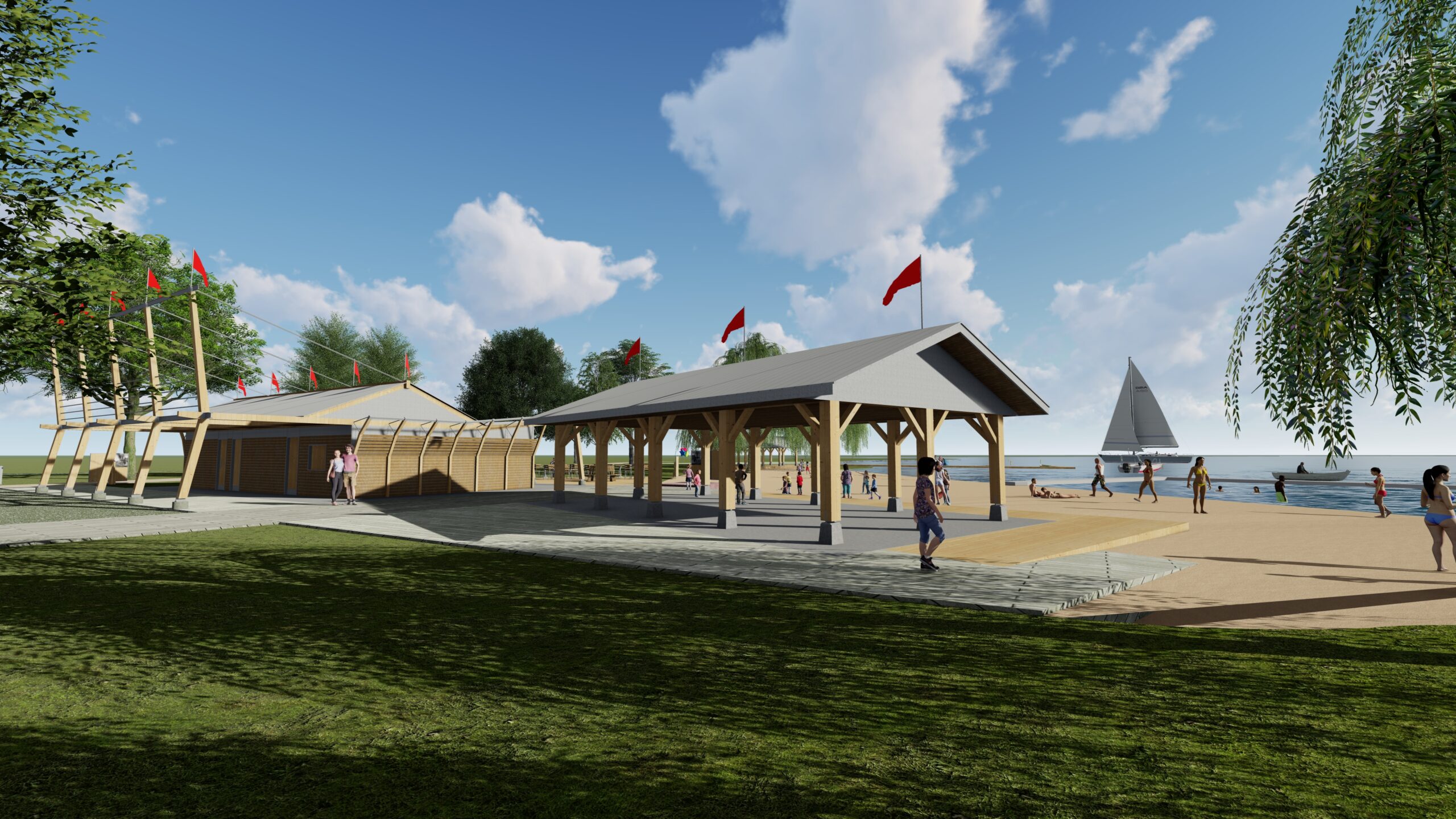
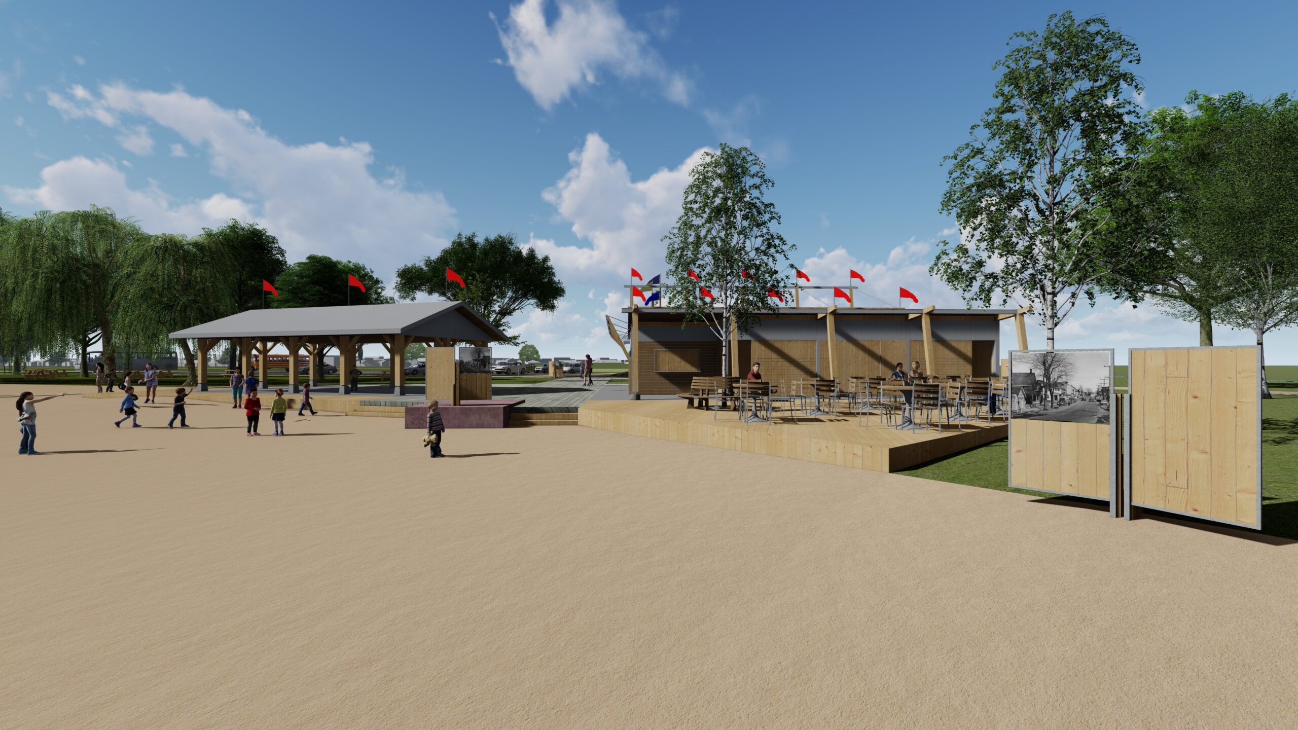
The community turned to TRACE architectures and Lashley+Associates design team to design a revitalized and re-connected cultural landscape for this asset. The core intention of the plan is to re-invent the Iroquois waterfront, and its adjacent green spaces, as a user-friendly cultural and recreational asset for residents of Iroquois and South Dundas, as well as for visitors who arrive by automobile, boat, bicycle or aircraft.
Our Role
TRACE architectures work for the Revitalization included research, re-programming and re-design the beach area, historic structures and a waterfront trail that follows the shoreline between the beach and the marina to the west. Our design included redevelopment of the existing pavilions, cultivating different zones within the overall harmonized development and drawing visitors to the historic Iroquois’ waterfront. The concept links together a series of previously unconnected features and elements to produce a real sense of place.